
Winchester Neighbors and Block Sources
The public trail around a Winchester address starts with parcel records. Clark County OpenWeb shows parcel boundaries and related government layers. The Assessor card supplies the parcel's owner display, situs, mailing, and legal-description fields. The Recorder can connect the parcel number to recorded instruments. These are useful block records, but none is a current list of everyone at an address. The safest conclusion is narrow: a parcel shares a boundary or frontage, a record named an owner or party on a specific date, or a public civic source named an organization at a meeting.
| Source | What It Shows About a Block | Access |
|---|---|---|
| Clark County OpenWeb | Parcel boundaries, APNs, site addresses, linked ownership context, zoning, flood, districts, and aerial-date layers | Free map browse and parcel click; reference data, not a current-occupant field |
| Assessor street search | Address result set, parcel card, owner, mailing and situs fields, legal description, sale, and structure details | Free; a street-number search returns a three-block result set |
| Recorder index | Recorded instruments touching an APN, named parties, dates, document types, plats, easements, and liens | Free summary index from 1988 for Official Records; office or microfilm route for earlier material |
| Treasurer search | Tax-statement association by parcel, name, organization, situs or mailing address, ZIP, and as-of date | Free current fiscal search; not proof of presence at the parcel |
| Winchester TAB | Dated public-meeting names, project locations, and civic context | Public meeting material; not a private member directory |
Parcel research is strongest when it records the official source and its date. It is weak when it assumes that a mailing address means occupancy or that a map click identifies every person nearby. The records below keep Winchester neighbors in their proper block-level context.
Find a Winchester APN Before Mapping Neighbors
The Assessor address form is the starting point for a target parcel. It accepts street number, direction, street name, street type, optional City/Town, phonetic name matching, and an owner-history choice. Street name is the main key. The City/Town field is a legal-boundary field, which is why a Winchester parcel can have a Las Vegas postal line. If the legal-town filter does not return a known address, test the street without that field and inspect the card itself.
Winchester has a useful search quirk: adding a street number can return addresses within three blocks. That makes the result set helpful for identifying a nearby parcel, but not an exact address match. Open each candidate, save the APN exactly as displayed, and compare the legal description before treating it as the target. APN formatting can differ between the Assessor, GIS, and Recorder, so preserve hyphens and test a controlled format change only when the first parcel query fails.
Note: The APN is the durable bridge between an address search, OpenWeb map click, tax statement, and Recorder instrument search.
OpenWeb Process for Winchester Neighbors
OpenWeb turns a known APN into a small, documented map study. It supports parcel identification, layer management, zoom, measurement, legal-description fields, and links to Assessor, Treasurer, Recorder, flood, zoning, district, and elected-official information. Use its boundaries to establish how parcels relate on the ground. Treat aerial imagery and measurement as reference context rather than a legal survey.
- Search the target address in the Assessor and record the APN, site address, legal town, and legal description.
- Open the same parcel in Clark County OpenWeb, zoom until the parcel lines and adjacent APNs are stable, and turn on parcel labels if needed.
- Note each parcel that shares a boundary or frontage. Record its APN, site address, parcel type, and whether a road or common area interrupts the connection.
- Open the linked parcel details, compare situs and mailing fields, then use the Recorder only for a specific instrument or legal-description question.
- For a full named-street record chain instead of an immediate block, use the Winchester street directory workflow.
The order matters: address to APN, APN to map, then adjacent parcel to owner or instrument fields. Moving straight from a street name to a person skips the geographic control that makes a neighbor search defensible.
Which Parcels Count as Winchester Neighbors?
Visual closeness is not always parcel adjacency. A road or right-of-way can break a shared boundary. A nearby shape can be a public facility, vacant lot, commercial parcel, common area, or separate condominium unit. OpenWeb can also display planned use, zoning, flood information, school and elected districts, soil, and aerial layers. Those layers explain the block's geography and government context. They do not establish who is present at an address.
Use the legal description to resolve a confusing map edge. It can name a subdivision, book and page, lot and block, or township-range-section. A recorded plat or easement may explain why parcels touch in an unexpected way. A Recorder deed, release, lien, or plat is still an instrument record, not an occupancy statement. The county's map disclaimer treats OpenWeb as reference and convenience data subject to change, so date every capture and verify a key boundary with the recorded material when it matters.
Note: A surrounding parcel is useful geographic evidence only after its APN, boundary relationship, and record date are written down.
Winchester Neighbors: Mailing and Situs Fields
Three address strings can appear in a Winchester parcel trail. The situs is the physical location. The legal City or Unincorporated Town field may read WINCHESTER. The mailing line is where the Assessor sends correspondence and may use Las Vegas or another location. The postal city is a delivery convention. Keeping these fields separate prevents a common error: treating an owner mailing address as proof that the owner is physically at the parcel.
The Treasurer gives an additional check because its advanced search allows a situs-address or mailing-address route, with optional City/State/Province and ZIP/Postal fields. Its tax statements are current fiscal evidence and can show an as-of date. They do not prove a person is on the block. The Recorder's parcel or name search can then explain a recorded transfer through parties, dates, document type, and legal description. In a difficult address match, the legal description is the better control than a postal label.
| Situs address | The parcel's physical location in county records. |
|---|---|
| Legal town | The county boundary field that can identify WINCHESTER even where postal mail uses Las Vegas. |
| Mailing address | The correspondence field for an owner or other contact; it does not demonstrate current presence at the parcel. |
| Legal description | The subdivision, lot, block, book/page, or similar parcel description that helps reconcile an address change. |
Winchester Neighbor Lists Have Voter Limits
Voter information is not a block roster. Clark County Registered Voter Services and the Nevada Secretary of State tool are credentialed first-party workflows. They ask for the person's name, date of birth, a Nevada ID or the last four digits of Social Security number, and a CAPTCHA. Nevada law protects the public voter identification number, Social Security number, driver-license or ID number, and email. A voter can also request address and telephone withholding. An inactive voter record does not prove that someone left a physical address, and a current record does not establish everyone at it.
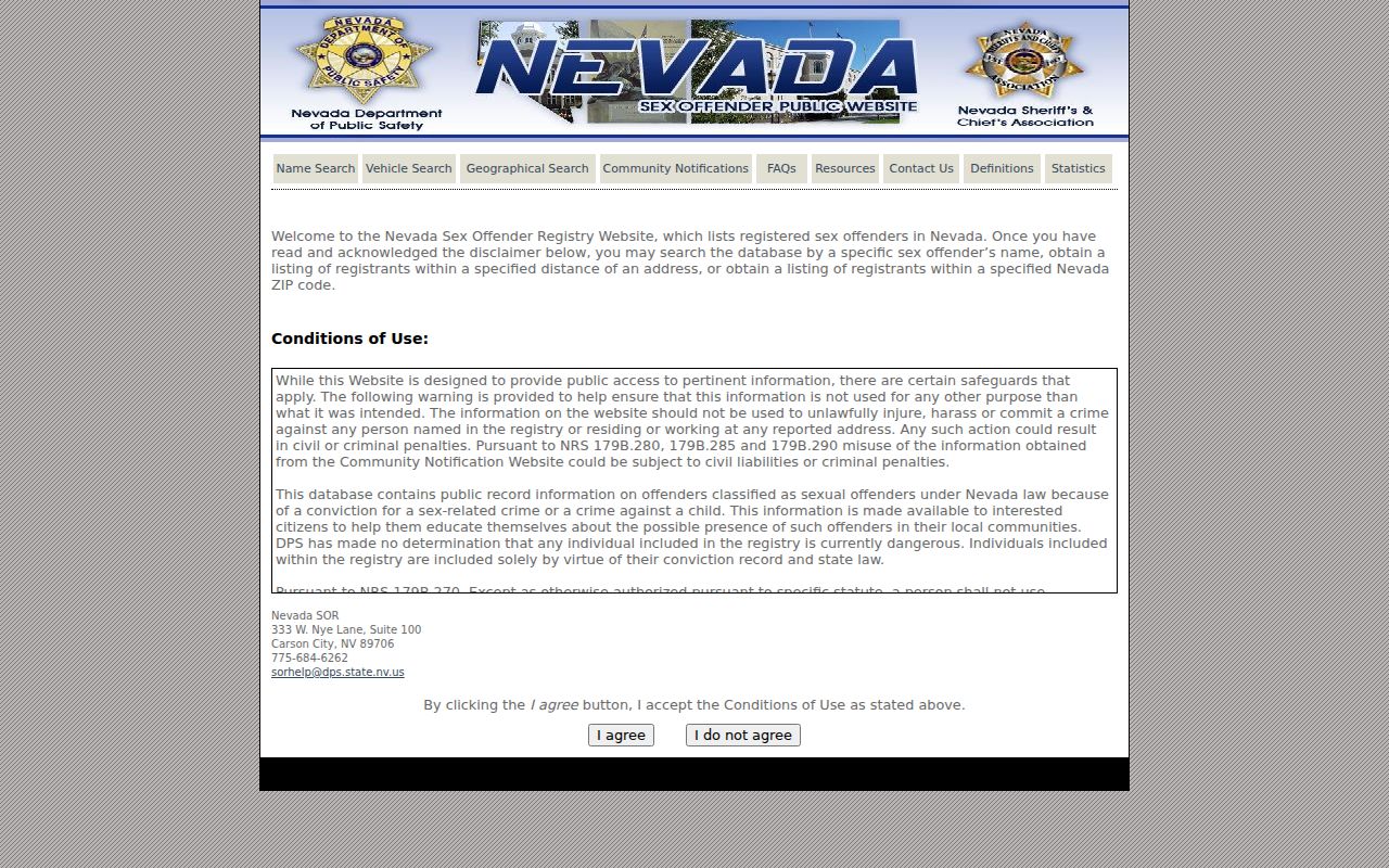
The Nevada Sex Offender Registry terms and search entry is another example of a legally bounded public-safety tool, not a way to label a block's neighbors. Its public coverage is statutory and partial, and the registry warns that positive identity cannot be made without fingerprints.
Do not use a registry, voter record, or mailing field to watch or target people nearby. When a lawful public-file or historical-election request is needed, ask Clark County Elections for the current custodian procedure and preserve its stated access restrictions.
Winchester TAB Gives Civic Context
Winchester has no separate municipal clerk or city records office. Its official local civic umbrella is the Winchester Town Advisory Board, while Clark County departments supply the major record systems. TAB agendas and public meeting materials can connect a date, a project location, a speaker, or an organization with the community. They are valuable for civic history and neighborhood context, but they are not a directory of private people.
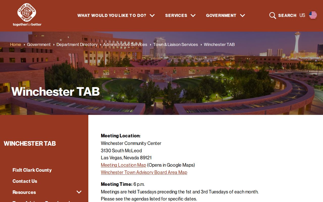
The official Winchester TAB page is the source shown in this capture. It provides the board's county context and meeting information.
A dated agenda can be paired with a Library District newspaper or UNLV finding aid when a street, public facility, or civic project needs historical context. Keep the source title, meeting date, and page or agenda item with the result.
Winchester Town Advisory Board
Official county civic body for the unincorporated town. Its public records can identify meeting topics, locations, and civic participants at a particular date.
Public meetings: before the first and third Tuesdays at 6 p.m.
Winchester-Dondero Cultural Center
County civic anchor at 3130 S McLeod Drive. Programs and public facility context can help place a TAB topic without suggesting a private resident directory exists.
County contact: 702-455-7340
Official Records Versus Compiled Neighbor Tools
Official sources expose their purpose and limits. OpenWeb shows a parcel boundary, the Assessor identifies a parcel record, the Recorder identifies an instrument, and TAB material records public civic activity. Commercial compiled neighbor tools can combine old addresses, public filings, marketing data, and same-name records. That category can be useful only as a prompt to verify an original record; it cannot replace the county map or establish who currently belongs to a block.
| Official source trail | Compiled neighbor category |
|---|---|
| Shows a custodian, record type, date, map or instrument key, and stated access limit | May merge data from different dates and unrelated same-name records |
| Lets a researcher verify APN, situs, legal description, or public meeting date at the source | May present a profile without showing whether an address is mailing, historical, or connected to the block |
| Supports a narrow statement about a parcel or document | Does not replace a parcel boundary, a custodian record, or privacy protections |
The research found no official county roster, umbrella directory, or public member list for a private Winchester association. Search a subdivision or plat name in the Assessor, then contact the relevant property or association custodian directly if a lawful public contact directory exists. Parcel ownership alone does not establish private membership.
Historical Winchester Neighbors Need Dates
For an older block, reverse or criss-cross directories can provide address-to-name or address-to-business snapshots at verified years. The strongest documented local checkpoints are Luskey's Las Vegas Criss-Cross City Directory volumes for 1956, 1957, 1959, 1966, and 1967, held through Nevada State Museum context. They are not a continuous series, and the research did not capture a page image or abbreviation key. Label any result by volume year and repository rather than presenting it as current.
The Las Vegas-Clark County Library District's genealogy resources, UNLV Special Collections and Archives, Nevada State Museum, historical newspapers, and obituaries are the practical fallback chain when a current parcel record cannot answer a historical question. UNLV's files for Las Vegas Streets, 1913-1971 and Street Names, 1930-1968 can bridge a renamed or renumbered address. Pair the historical spelling with the parcel's legal description or APN before drawing a connection.
Note: A directory name belongs to its printed year and source, not automatically to the Winchester block as it exists today.
Privacy Limits for Winchester Neighbor Lookup
Some of the most important results are the ones a public record does not reveal. Protected participants can use substitute addresses. Voter address and telephone information can be withheld. Court files may be sealed or redacted. Utility, delivery, and private association data are not a public block directory. A public map can show a parcel owner or correspondence line without identifying every person there, and the original record should be checked before any lawful decision or contact.
Lawful use. Use Winchester neighbor research for personal, lawful block awareness, civic context, or historical research. Do not use record details to stalk, harass, intimidate, or harm another person.
Nevada's Confidential Address Program provides substitute-address and mail-forwarding protection for eligible people. NRS 200.575 addresses stalking, and NRS 205.4659 restricts public display of protected personal identifying information. If a record looks wrong, send the record number and a concise correction request to its original custodian. Do not copy protected fields or try to bypass a login, CAPTCHA, seal, or confidentiality process.